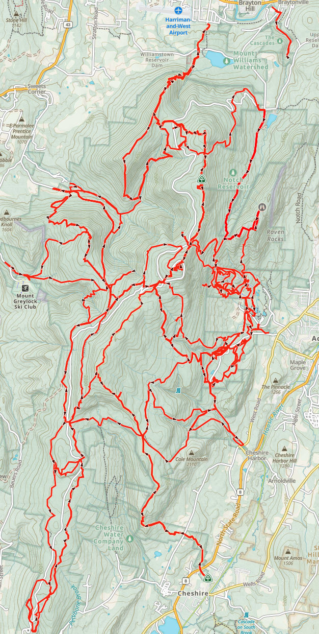
Mount Greylock Redline
The ultimate quest for those who want to know every hidden hollow and rugged ridge of the Greylock Range. Unlike a single traverse or route to the summit, this challenge requires you to “redline” a map - hiking EVERY single public established trail within the state reservation!
To Finish, you must navigate approximately 67 distinct trail segments, covering roughly 100 miles of unique terrain. Because of the layout, completing the map requires a total commitment of 150-165 miles and over 30,000 feet of elevation gain!
Challenge Highlights
The Goal: Hike every public trail, ski path, snowmobile route, and old road!
Total Map Miles: 100 miles of unique trail!
Actual Effort: 150-165 miles due to loops / out-and-backs!
Vertical Gain: 30,000’ - 35,000’ total!
Scope: North Adams, the Eastern Glen, the Southern Slopes, and the Western Wilds (Stony Ledge and beyond)!
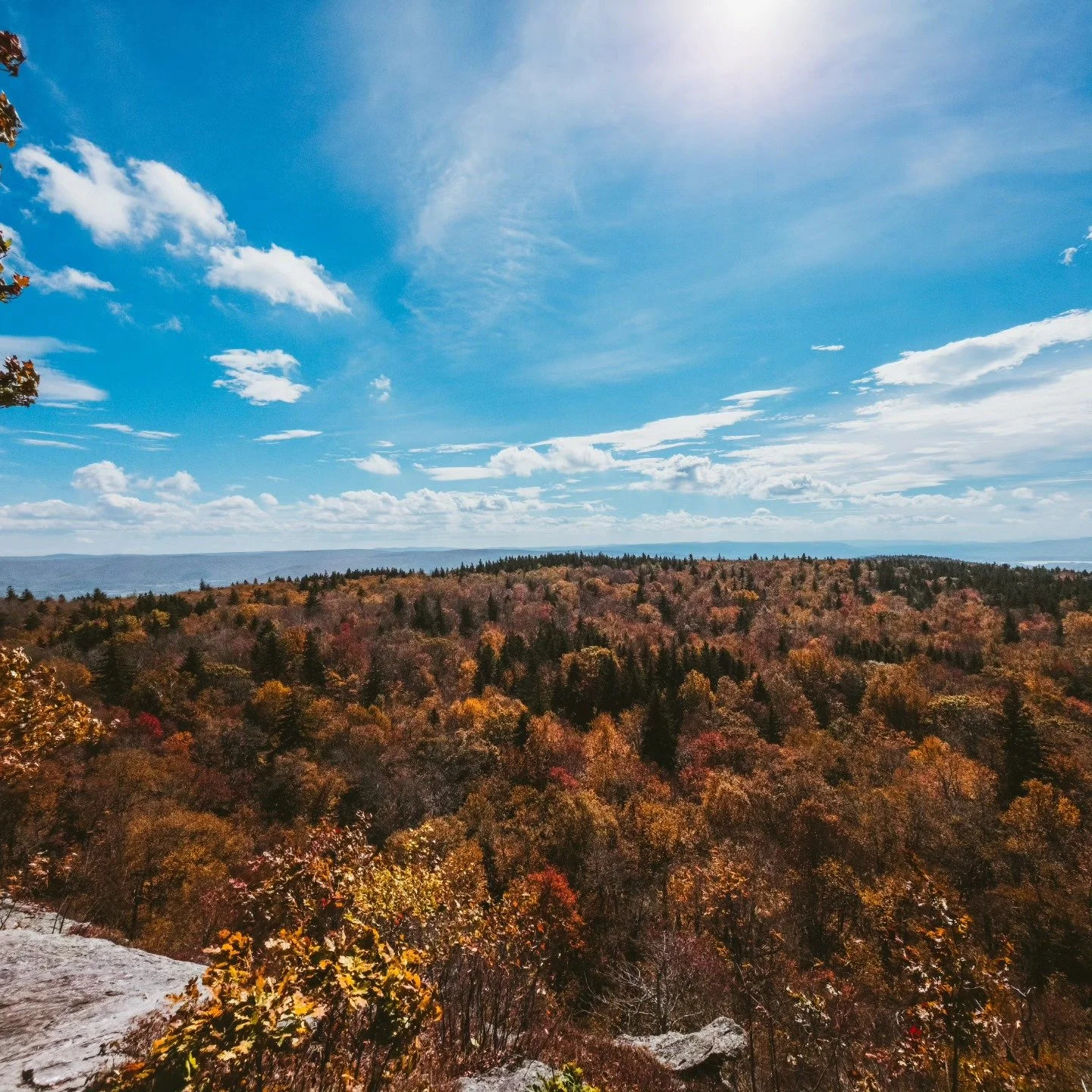
Rounds Rock View Point.
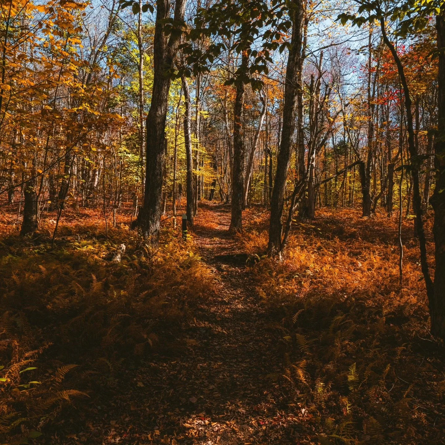
Section of trail near Rounds Rock.
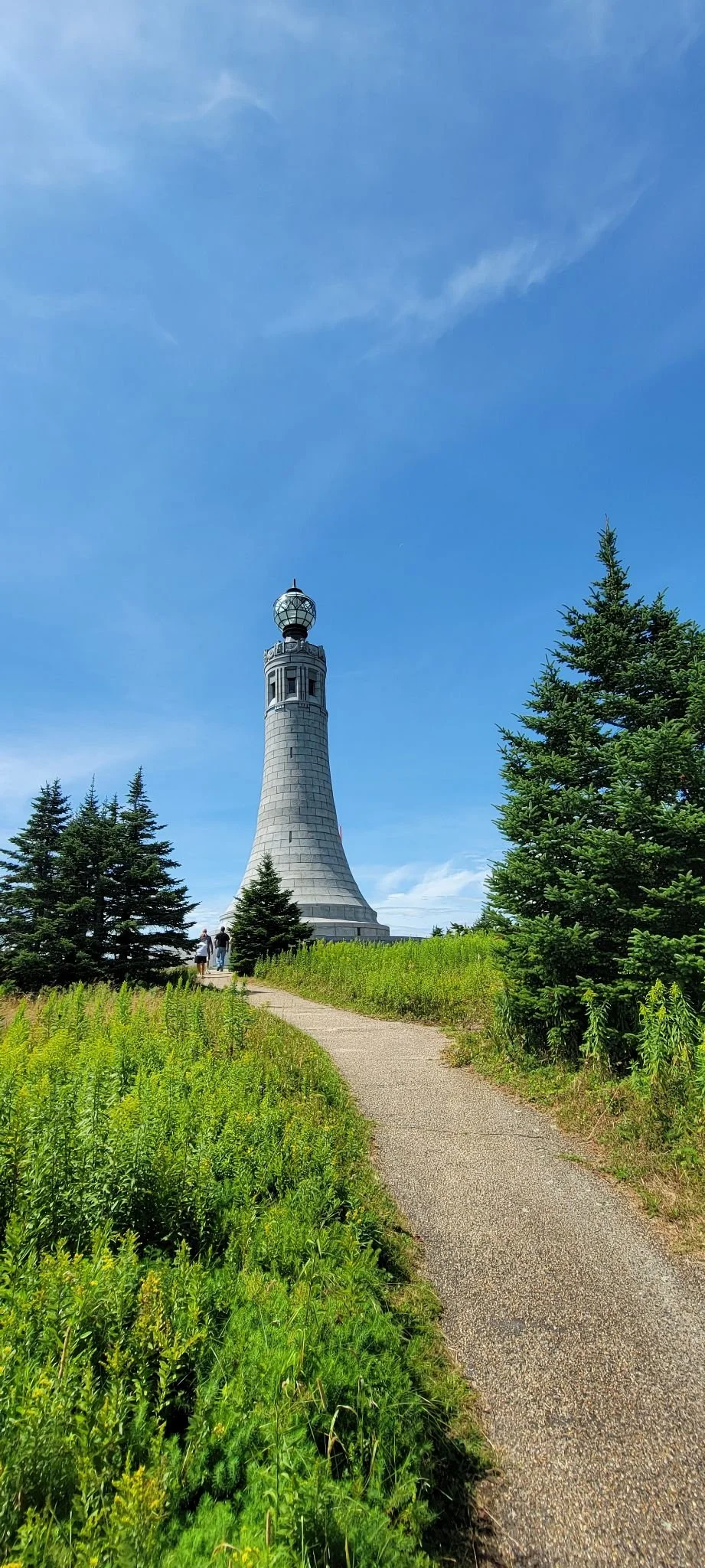
Summit Monument.
Preparation Tips
Redlining is a marathon, not a sprint. Success depends on strategy!
Segment Planning: Group trail segments by region for efficiency!
The Master Map: Keep a physical or digital DCR trail map. Highlight segments in red as you complete them!
Multi-Season Strategy: Some trails are better suited for winter, such as snowmobile/ski trails, while the Eastern Glen area is best explored in late spring when water features are active!
Tracking: GPS logs such as Strava/AllTrails/GaiaGPS are essential for verifying what you have and have not completed! This challenge includes an external link to all trail routes on Gaia GPS.


Sperry Road.
Greylock Road Monument.
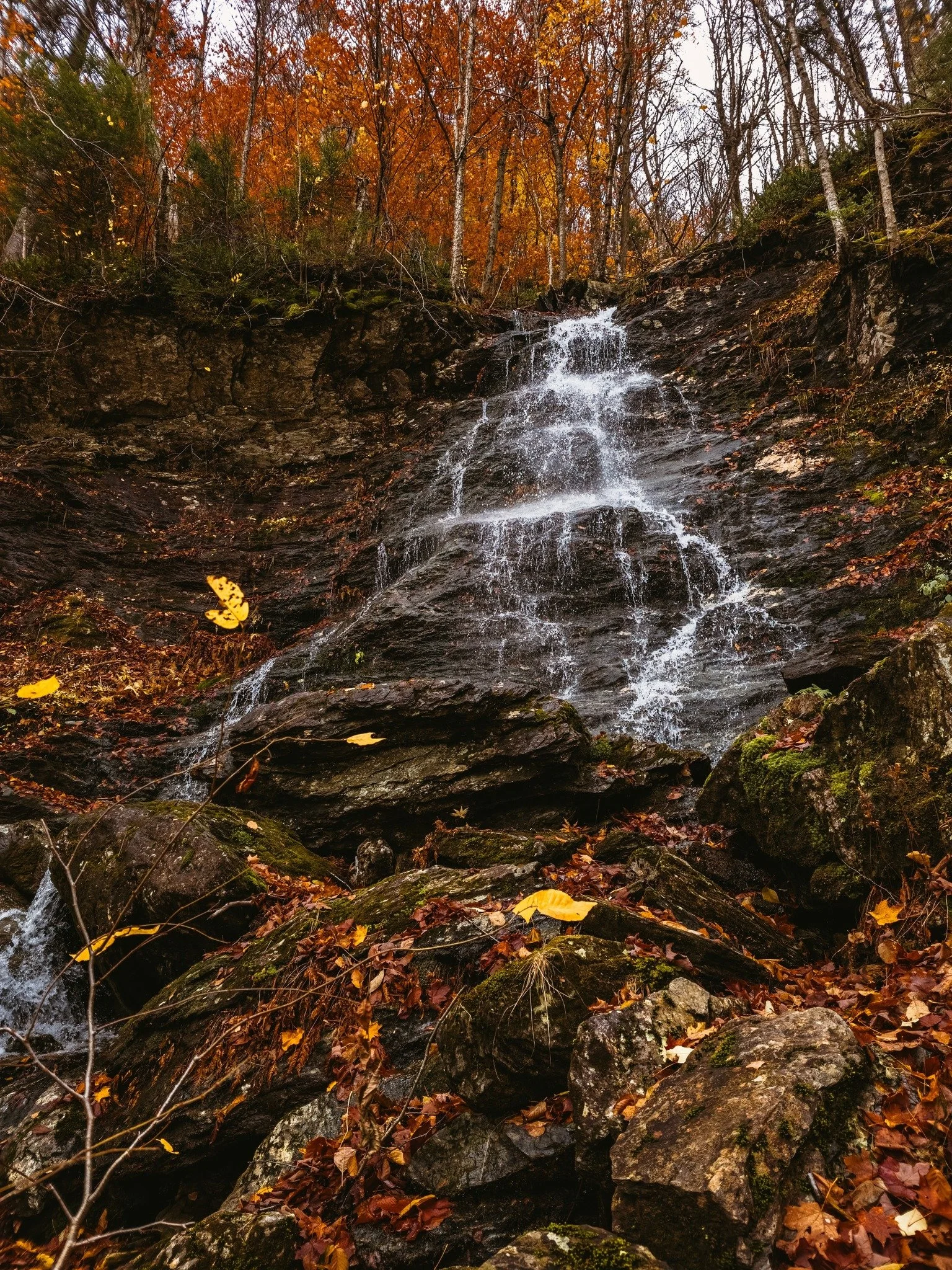
March Cataract Falls.
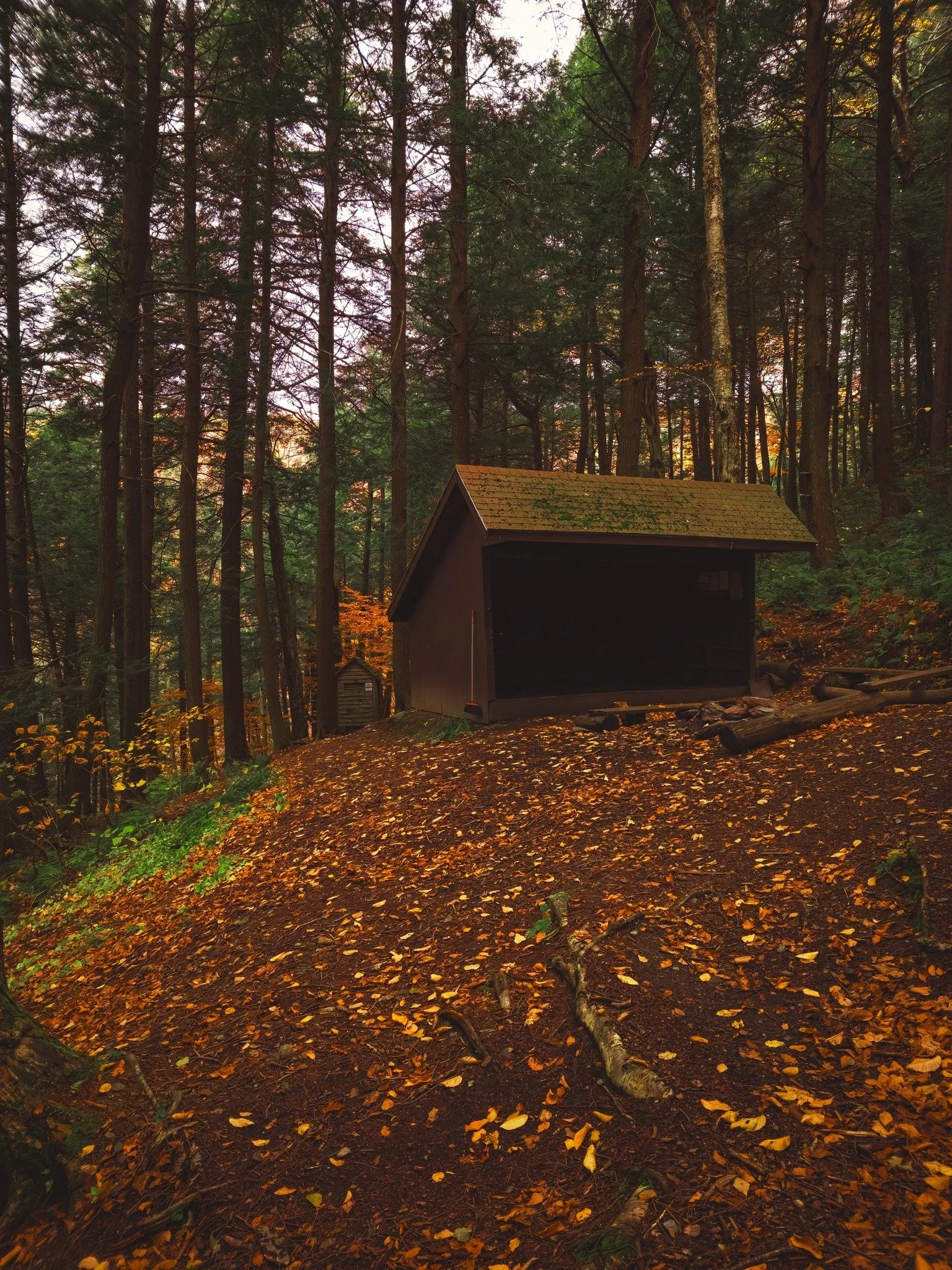
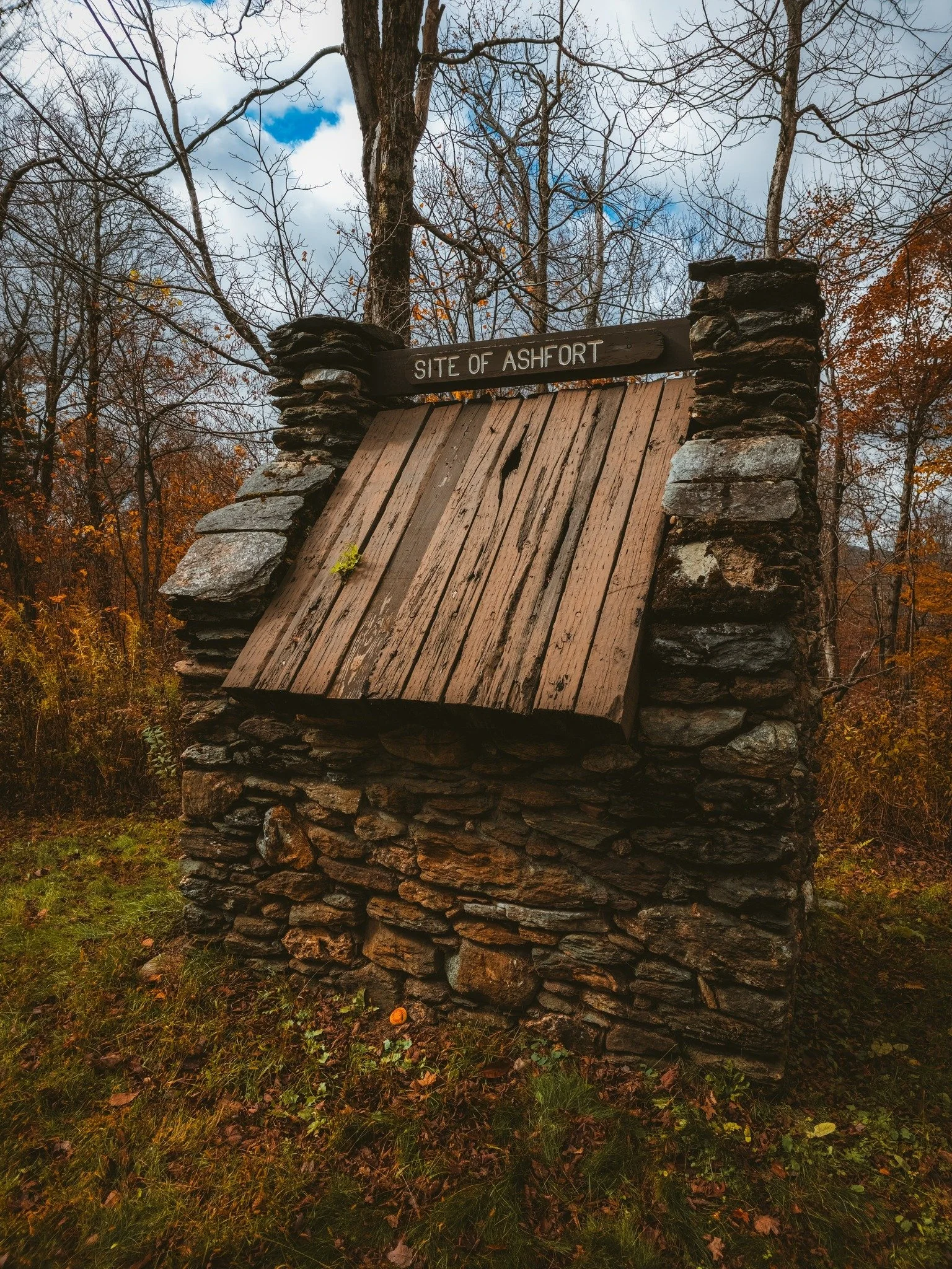
Deer Hill Lean-To.
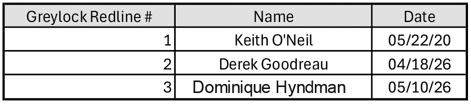
The Finishers
Have you completed this challenge?
If you have recently completed this or another challenge, click below to view the patches currently available for purchase! Each patch will also come with a sticker! All funds help with production and site maintenance costs!